
Beyond the Hype: Why Earth Observation Needs Honest Conversations About AI (or: How to Avoid Another Trip Through the Trough of Despair)
Been scratching this itch for a while so if I don’t get it out now it will be out of date and sound slightly sour; bottom line, don’t want to spoil the party but let’s make sure the guests don’t leave early…..
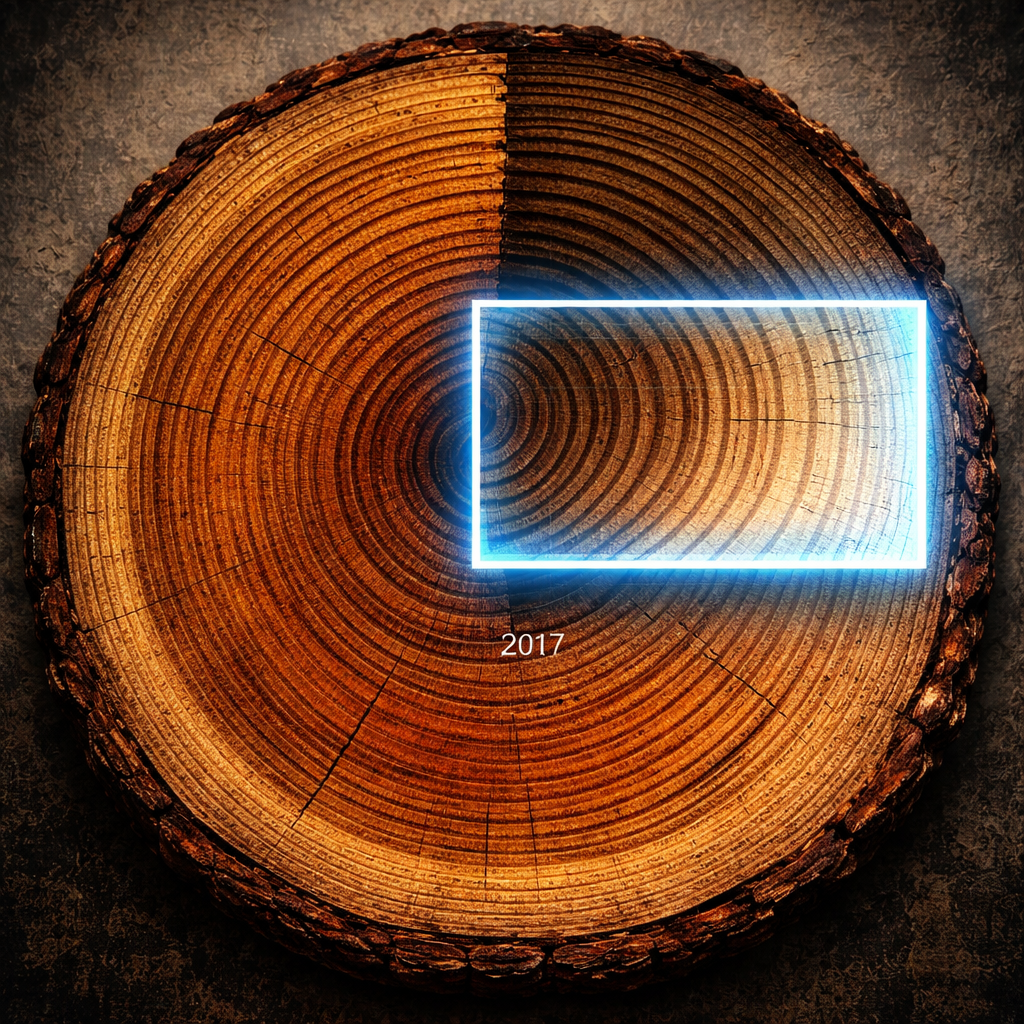
The amputated timeline (courtesy of DALL-E)
There's a familiar pattern playing out in Earth observation right now. Google DeepMind announced AlphaEarth Foundations, with Earth AI claiming their models "power features used by billions" and provide "actionable insights." The trade press amplifies the message. Marcomms teams start pitching "AI-powered Earth intelligence." Executives write cheques. And somewhere, quietly, experienced remote sensing professionals exchange knowing glances.
We've been here before.
Don't misunderstand – AlphaEarth's achievements are genuinely impressive. Reducing 16x storage requirements whilst improving accuracy by 24% is remarkable engineering. Making embeddings freely available through Google Earth Engine democratises capabilities that were recently the preserve of well-resourced research labs. This matters.
But here's the uncomfortable truth: embeddings share more DNA with 1980s principal components analysis than the industry wants to admit. You've compressed the data brilliantly. You've captured variance efficiently. But those 64 dimensions? They're mathematically explanatory but semantically opaque. Try explaining to a CFO why "embedding dimension 47" justifies a £2M insurance underwriting platform, or to a planning officer why "similarity scores" validate development refusal.
The interpretability gap isn't a minor technical detail – it's a commercial cliff edge.
The Billion User Sleight of Hand
When Google says their Earth AI "powers features used by billions," they're technically correct but not necessarily helpful. Yes, improved routing in Google Maps touches billions. No, this doesn't mean your supply chain risk monitoring or ESG compliance platform will "just work" with embeddings. And now Nvidia with IGX Thor and Jetson Orin enable image analysis on satellite suggesting change detection as lead use case when that change will likely come from comparison with locally held embeddings.
The reality is messier: annual temporal resolution when you need sub-daily updates for insurance claims. 7 year baseline when climate policy needs 50 years. 10-metre spatial resolution when you're tracking sub-metre planning violations. Cloud-penetrating consistency when you need species-level classification. Pre-computed features when your client's use case requires rapid adaptation to emerging threats.
These aren't failures of the technology, they're fundamental constraints. But when marcomms segues "powers routing for billions" into "solves all Earth observation challenges," we set ourselves up for the same cycle we've endured repeatedly: breathless promises, underwhelming pilots, cancelled projects, and another wave of "EO doesn't work" narratives poisoning the well for genuine applications.
And sometimes the constraints aren't just inconvenient, they're existential to entire use cases. The temporal coverage of foundation models, for instance, creates a particularly acute problem for carbon accounting and climate policy frameworks that I'll examine in detail next time.
The PCA Problem Nobody Mentions
Those of us who spent the 1980s running unsupervised classification remember this plot. You transform dozens of spectral bands into a handful of principal components (slowly, GEMS35). Component 1 captures 60% of variance! Component 2 adds another 25%! But when the land use planner asks "what does principal component 3 actually measure," the honest answer is: "It's a linear combination of original bands weighted by their covariance structure."
Not helpful.
Embeddings are PCA's intellectually superior cousin, learned rather than purely statistical, capturing non-linear relationships, trained on vastly more data. But the fundamental challenge remains: the dimensions that best explain mathematical variance rarely align with the categories humans use to make decisions.
A 64-dimensional embedding might perfectly separate "degraded forest in southern hemisphere experiencing moisture stress" from "recovering agricultural land with similar spectral signature." But it won't tell you which one you're looking at without additional context, ground truth, and domain expertise. The embedding is a remarkable feature extractor. It's not, despite the rhetoric, a decision engine.
What Actually Needs to Happen
First, we need honest technical communication that bridges old-school remote sensing rigour with new-school ML capability. When someone claims "95% accuracy for crop type mapping," the next sentence should detail temporal windows, geographic constraints, seasonal dependencies, and failure modes. Professional societies could maybe create rapid-response fact-checking for overblown claims though that might carry membership risk.
Second, we must reframe what embeddings actually deliver. They're not magic. They're "smart data compression" that reduces months of preprocessing to days. They enable rapid prototyping. They provide consistent global baselines. But they require domain expertise for application design, validation infrastructure, and realistic timelines measured in years not months.
Third, we need to establish capability matrices that executives can actually use. What's production-ready now? What needs 2-5 years? What's still research-stage? Create "readiness levels" equivalent to the TRL scale. Be brutally honest about where current technology stops and wishful thinking begins.
Fourth, build credibility through transparent validation. Publish failure modes as aggressively as success stories. When pilots don't meet targets, share why. Create benchmark datasets with known ground truth. The goal isn't to kill innovation, it's to protect industry credibility from death by overselling.
The Realistic Optimistic Future
Here's what we should actually be excited about: foundation models and embeddings are genuinely reducing basic monitoring costs by 10-100x. They're making EO economically viable for mid-market clients who couldn't afford bespoke analysis. They're enabling applications we haven't imagined yet. The next decade will see non-defence EO transition from artisanal craft to industrial scale.
But, and this matters, this requires complementary high-resolution temporal data for many applications. It requires domain experts to design implementations properly. It requires accepting that some use cases simply aren't ready yet, regardless of what the pitch deck promises.
The real opportunity isn't replacing traditional remote sensing with AI magic. It's combining foundation model efficiency with targeted high-resolution monitoring, embedding global consistency with local ground truth, and pairing computational power with domain expertise.
Where We Go From Here
The geospatial industry stands at a genuine inflection point. We can repeat history (overpromise, underdeliver, damage credibility, retreat) or we can chart a different course.
That means marcomms teams being aggressive about technical accuracy, not just message amplification. It means executives demanding "show me the failure modes" alongside performance metrics. It means seasoned professionals sharing expertise rather than protecting territory. It means the AI generation accepting that "it works in the lab" and "it solves the business problem" are different statements requiring different evidence.
Most importantly, it means acknowledging that foundation models and embeddings are powerful tools that will reshape our industry, but tools nonetheless, requiring skill, judgement, and honesty in application.
The trough of despair isn't inevitable. But avoiding it requires us to be as rigorous about managing expectations as we are about technical development. The technology is genuinely exciting. The applications are genuinely valuable. The opportunity is genuinely transformational.
We just need to be genuinely honest about all of it.