
The Baseline Problem: The Ocean Remembers What the Law Forgets or, When Everything Is Tracked and Nothing Is Stopped
I spend enough time on the water to know that the sea is not an abstraction. It is a place, a system, a record, and it is in serious trouble in ways that are fully visible, meticulously documented, and almost entirely unenforced. That failure is the subject of this final post in the series.
The previous four posts have examined the baseline problem in terrestrial climate accounting: the temporal shallowness of GFMs, the governance risks of AI-derived baselines under LULUCF, the conditions under which GFMs might serve as auditors rather than baseline-setters, and the version instability that undermines the instrument even when the governance conditions are right. Each post has identified a different point at which the technical capability outruns the institutional architecture designed to act on it.
The marine case makes that gap visible with a clarity that the terrestrial case rarely achieves. On land, the failure is often obscured by methodological complexity, contested reference periods, and the opacity of inventory submissions. At sea, the failure is documented in public, in real time, by named vessels, with timestamps. And it still produces no consequence. That is a different kind of problem, and in some respects a more disturbing one.
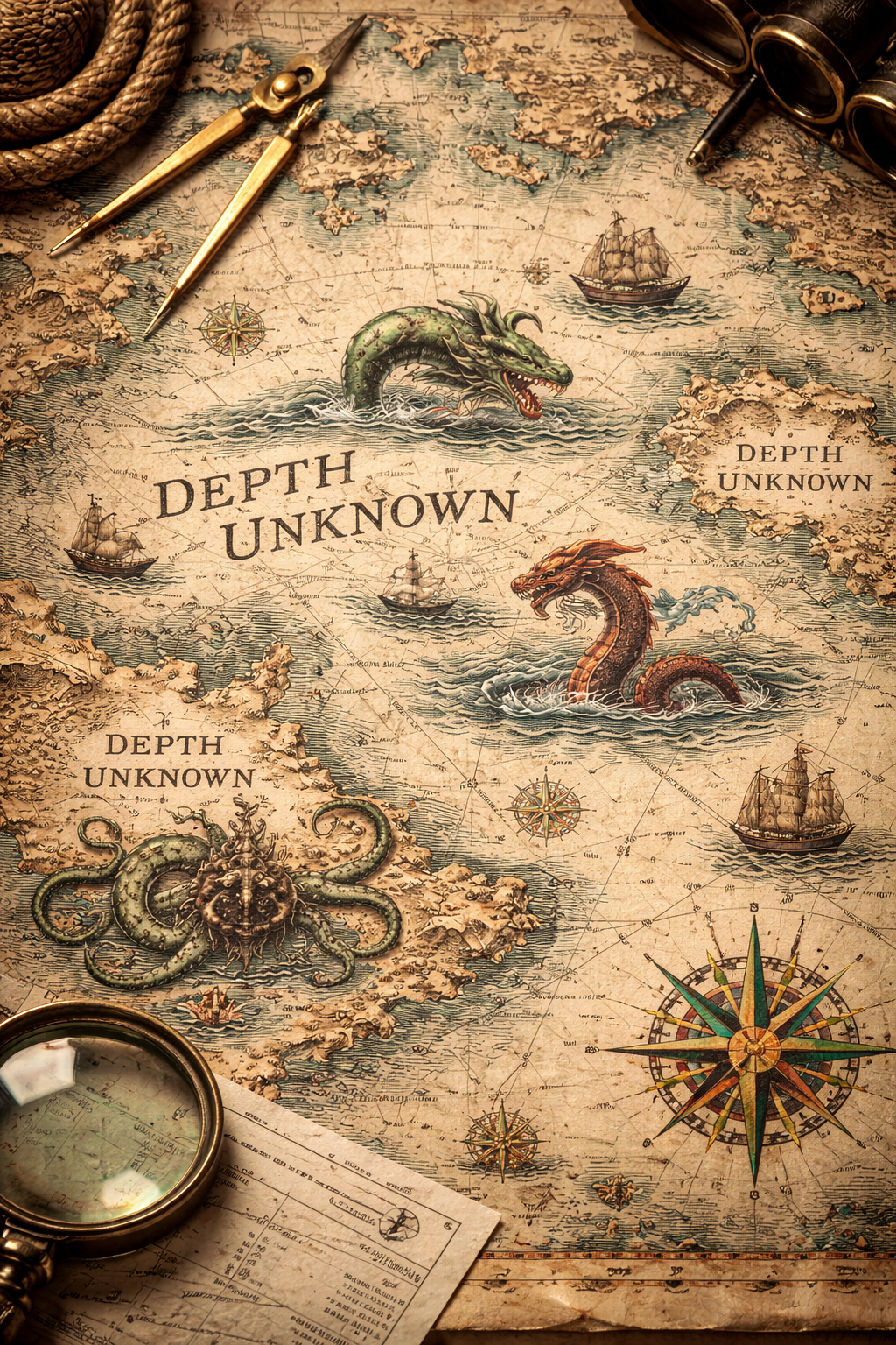
uncharted areas marked "depth unknown" historically these maybe were marked with sea monsters, which kind of maps onto the unknown threats in unmonitored MPAs; image courtesy ChatGPT>Dall-E
Everything Is Tracked
The technical infrastructure for marine monitoring is, by the standards of most environmental governance domains, remarkably mature. The Automatic Identification System (AIS) transmits vessel position, speed, heading, and identity continuously for vessels above a certain size. Synthetic aperture radar can detect vessels regardless of whether their AIS transponders are active. Landing declaration logs record what was caught, where, and when. Vessel Monitoring Systems provide independent position data for fishing vessels operating under EU and UK licensing frameworks. Global Fishing Watch integrates these data streams with machine learning to characterise fishing activity, distinguishing trawling from transit, identifying gear type from movement pattern, and flagging anomalies against licensed activity.
The result is that the location, identity, gear type, and fishing behaviour of industrial vessels operating in UK marine protected areas is, in principle, knowable in near real time. It is not a data problem. It is not a technology problem. It is not even, in most cases, a detection problem.
Oceana UK, using Global Fishing Watch data, documented 31,227 hours of suspected bottom trawling inside UK offshore MPAs in 2024 alone. Ten vessels were responsible for a quarter of it. None of them were operating covertly. They were transmitting their positions, logging their catches, operating under valid licences, and fishing legally in areas designated specifically to protect the seabed habitats they were destroying. The scandal is not that they were undetected. The scandal is that detection produced no consequence because the legal framework made what they were doing permissible.
The Paper Park Problem
Bottom trawling remains legal in roughly 90% of the UK’s 377 marine protected areas (38 prohibit bottom trawling). Of the UK’s 63 offshore benthic MPAs (designated specifically for the importance of their seabed features) all but one experienced bottom trawling between 2015 and 2018. Trawl and dredge vessels spent at least 89,894 hours fishing the seabed inside those areas during that period. The UK has had the legal powers to ban this activity since leaving the EU. It has not used them at the scale the evidence demands.
This is what conservation organisations mean by “paper parks” - they exist on maps and in policy commitments but offer no material protection to the ecosystems they purport to safeguard. The UK has 377 MPAs covering nearly 900,000 square kilometres of English waters. The headline coverage figure satisfies a political metric. The ecological reality underneath it does not.
The Kunming-Montreal 30x30 commitment to protect 30% of land and sea by 2030 is vulnerable to exactly this dynamic at global scale. Area coverage is measurable, politically legible, and relatively easy to report. Ecological condition within designated areas is harder to measure, harder to report, and inconvenient to enforce. The incentive structure pushes towards designation and away from protection, and the baseline against which “protection” is assessed is typically the degraded contemporary state rather than any ecologically meaningful historical condition.
The Baseline Problem at Sea
Which brings the argument back to where this series began. The marine baseline problem is in several respects more severe than its terrestrial counterpart, and the GFM critique applies with additional force.
Daniel Pauly’s shifting baseline syndrome, first described in the context of fisheries in 1995, is the marine version of the temporal amnesty argument running through this series. Each generation of marine scientists, managers, and policymakers accepts the degraded state they first encountered as the normal reference condition. The baseline shifts downward with each generation, without anyone explicitly deciding to lower it, because the institutional memory doesn’t extend far enough back and the monitoring archive doesn’t either. A GFM trained on recent satellite data encodes this shifted baseline as its reference state. It measures change from a compromised starting point and characterises modest recovery as success when it represents a fraction of historical condition.
The measurement environment compounds the problem. Optically shallow coastal waters and clear tropical seas are tractable for satellite-derived habitat mapping. Open ocean, turbid coastal zones, deeper benthic environments, and high-latitude seas are not. The spatial resolution and spectral penetration of current EO platforms degrades with depth and water clarity, which means GFMs trained predominantly on tractable marine environments will perform poorly in the environments that are often most ecologically significant and most data-poor.
The Seabed 2030 project is attempting to build global high-resolution bathymetric coverage, and there are foundation model efforts building on that data for marine habitat characterisation. This is a genuinely different sensing modality from optical EO and raises its own baseline questions - historical bathymetric and ecological surveys are patchy and the inconsistency between survey methods across decades severe.
Environmental Sensitivity Index (ESI) mapping is a globally utilised tool for assessing coastal vulnerability to oil spills, developed initially by NOAA and adopted worldwide. It ranks shorelines and upto 5km offshore in shallow waters upto the 20m isobath on a 1-10 scale of sensitivity, combining geomorphic, biological, and human-use data to aid spill response. While standardised methodologies are used globally, there is no single, continuously updated, seamless "global map," but rather a collection of national and regional Atlases capturing submerged vegetation, reefs and nearshore habitats precisely those that some forms of trawling are impacting.
The training data bias problem from the terrestrial critique applies here with additional physical and model construction constraints that cannot be easily engineered away.
The boundary problem is also more fundamental. MPA boundaries are administrative constructs applied to a fluid, three-dimensional, seasonally dynamic environment. The reference area comparison logic that 2025/2043 requires for LULUCF flexibility claims has no clean marine equivalent. Fish don’t observe administrative boundaries. Currents don’t observe them. The relevant ecological baseline for a pelagic species may span an entire ocean basin, making the concept of a spatially fixed reference area genuinely problematic in a way it simply isn’t for a forest parcel.
Two Failure Modes, One Architecture Problem
The terrestrial posts in this series described a failure mode in which the measurement architecture itself is compromised: baselines set too recently, reference periods chosen conveniently, GFM-derived characterisations laundering political choices into apparently objective ones. The marine case presents a second and distinct failure mode: the measurement architecture works, the violation is visible, and the governance downstream of it fails to act.
These are different problems but they share a common root. In both cases, the technical capability to characterise what is happening to a protected environment has outrun the institutional architecture designed to respond to that characterisation. On land the gap is at the measurement stage - the instrument is being pointed at the wrong question or anchored to a compromised baseline. At sea the gap is at the enforcement stage - the instrument is pointed correctly, the answer is clear, and the institution looks away.
Neither gap is primarily a technology problem. Closing the terrestrial gap requires governance reforms to baseline architecture, model versioning, and evidentiary standards. Closing the marine gap requires political will to convert detection into consequence which means enforceable prohibitions, adequate inspection capacity, penalties that exceed the economic benefit of violation, and international coordination on vessels operating across jurisdictions. Global Fishing Watch has demonstrated that the detection infrastructure can be built and operated at scale. The limiting factor has never been detection.
The Greenpeace boulder programme, placing physical rocks on the seabed to obstruct trawling because the government would not, is not a conservation strategy. It is a monument to institutional failure. It says, with considerable precision, that a civil society organisation with a ship and some large rocks was more effective at protecting a marine protected area than the legal framework nominally responsible for doing so. That should be embarrassing. It largely isn’t, which tells you something about the political economy of marine enforcement.
What Honest Ambition Looks Like
The 30x30 commitment will be measured in hectares and square kilometres. It will be reported in national submissions, aggregated into global totals, and presented at COP meetings as evidence of progress. It will tell you almost nothing about whether the ocean is recovering.
Honest ambition in marine governance would require at a minimum:
• Ecological baselines anchored to pre-disturbance or pre-industrial conditions, not to the degraded contemporary state that happens to be measurable with current tools
• Designation criteria that distinguish paper coverage from effective protection, with meaningful enforcement as a condition of compliance rather than an aspiration
• EO and AIS monitoring infrastructure operated independently of flag states and coastal states, with outputs that are public, versioned, and legally admissible in enforcement proceedings
• Penalties calibrated to the economic value of the catch, not to fixed tariffs that industrial operators treat as a cost of business
• International coordination on vessel tracking and landing verification that closes the jurisdictional gaps that allow vessels to fish destructively in protected waters and land catch legally elsewhere
None of this is technically difficult. The Global Fishing Watch model demonstrates that independent, satellite-based, machine-learning-assisted vessel monitoring is operationally feasible at global scale. The Allen Coral Atlas and similar initiatives demonstrate that spatially explicit habitat baselines, while imperfect, can be constructed and maintained. The Lyme Bay recovery, where a partial ban on destructive fishing introduced in 2008 produced measurable biodiversity recovery within five years, demonstrates that marine ecosystems can respond rapidly when protection is genuine rather than nominal.
The constraint is not technical. It has never been technical. It is the political economy of extraction, the jurisdictional fragmentation of ocean governance, and the institutional habit of measuring what is easy to measure rather than what matters.
But framing the monitoring infrastructure question in terms of operational feasibility perhaps ducks the real challenge. It might be stronger to frame it explicitly around legal admissibility: the goal isn't just independent monitoring, it's monitoring that produces evidence that can survive adversarial scrutiny in enforcement proceedings
The Series Argument, Brought Home
This series began with a relatively narrow technical critique: GFMs, whatever their capabilities, are not time machines, and deploying them in contexts that require long historical baselines creates governance risks that the industry has not adequately acknowledged. That critique stands.
But the argument has widened with each post. The baseline problem is not primarily a problem about the depth of training data. It is a problem about who controls the reference point against which progress is measured, who has standing to challenge a compromised baseline, and what happens when the technical complexity of the measurement system makes those questions practically unanswerable. The sophistication of the instrument does not resolve those questions. In the wrong governance architecture, it makes them harder to ask.
The marine case brings that argument to its sharpest point. Here the instrument works. The data is good. The violations are visible, documented, and publicly reported by credible organisations using rigorous methodology. The baseline, the MPA boundary, the prohibition on damaging activity, is legally defined and spatially explicit. And still the ecosystem is being destroyed, in real time, by named vessels, because the governance architecture downstream of the instrument has chosen not to act.
The ocean is not a policy domain. It is the system that regulates the climate, generates half the oxygen we breathe, and absorbs the consequences of every failure of terrestrial governance we have discussed in the preceding posts. It is also, for those of us who spend time on it, immediate and irreplaceable in ways that no policy framework fully captures.
The independent spatial witness, whether it is a GFM auditing a LULUCF flexibility claim or a Global Fishing Watch algorithm tracking a supertrawler through an MPA, only matters if the institution on the other end of its testimony is prepared to act. Building that institutional capacity, and the political will that sustains it, is the work that no amount of technical sophistication can substitute for.
The ocean has been absorbing our failures for long enough. It is running out of capacity to absorb this one.